|
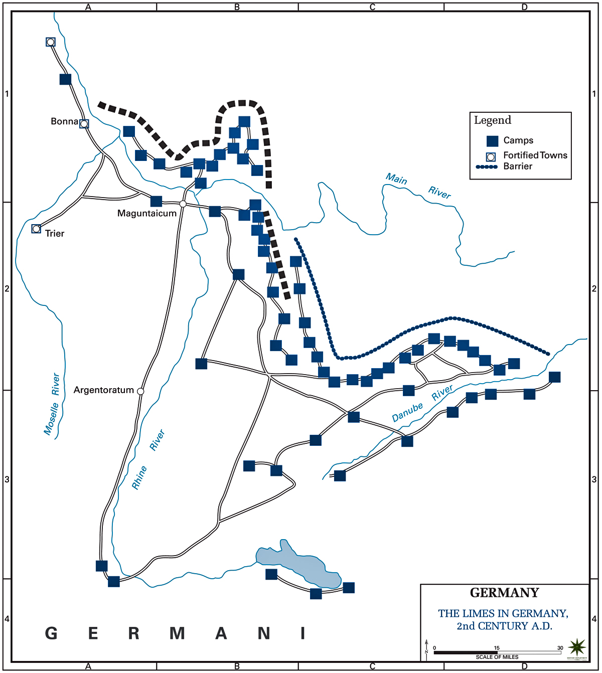
Map Description
Historical Map of the Limes in
Germany - 2nd Century AD
Illustrating
Roman Camps, Fortified Towns, and Barriers between Rhine River
and Danube River
Credits
Courtesy of the United States
Military Academy Department of History.
Related Maps
 Map of the European Provinces of the Roman
Empire AD 117
Map of the European Provinces of the Roman
Empire AD 117
Map of the Roman Empire AD 117
Map of the Limes in Britain AD 122
Map of Hadrian's Wall
Map of the Antonine Wall
Map of Wales AD 47
Related Links
About Hadrian
About the Roman Empire
About the Alemanni
Roman Britain
More History
 |
