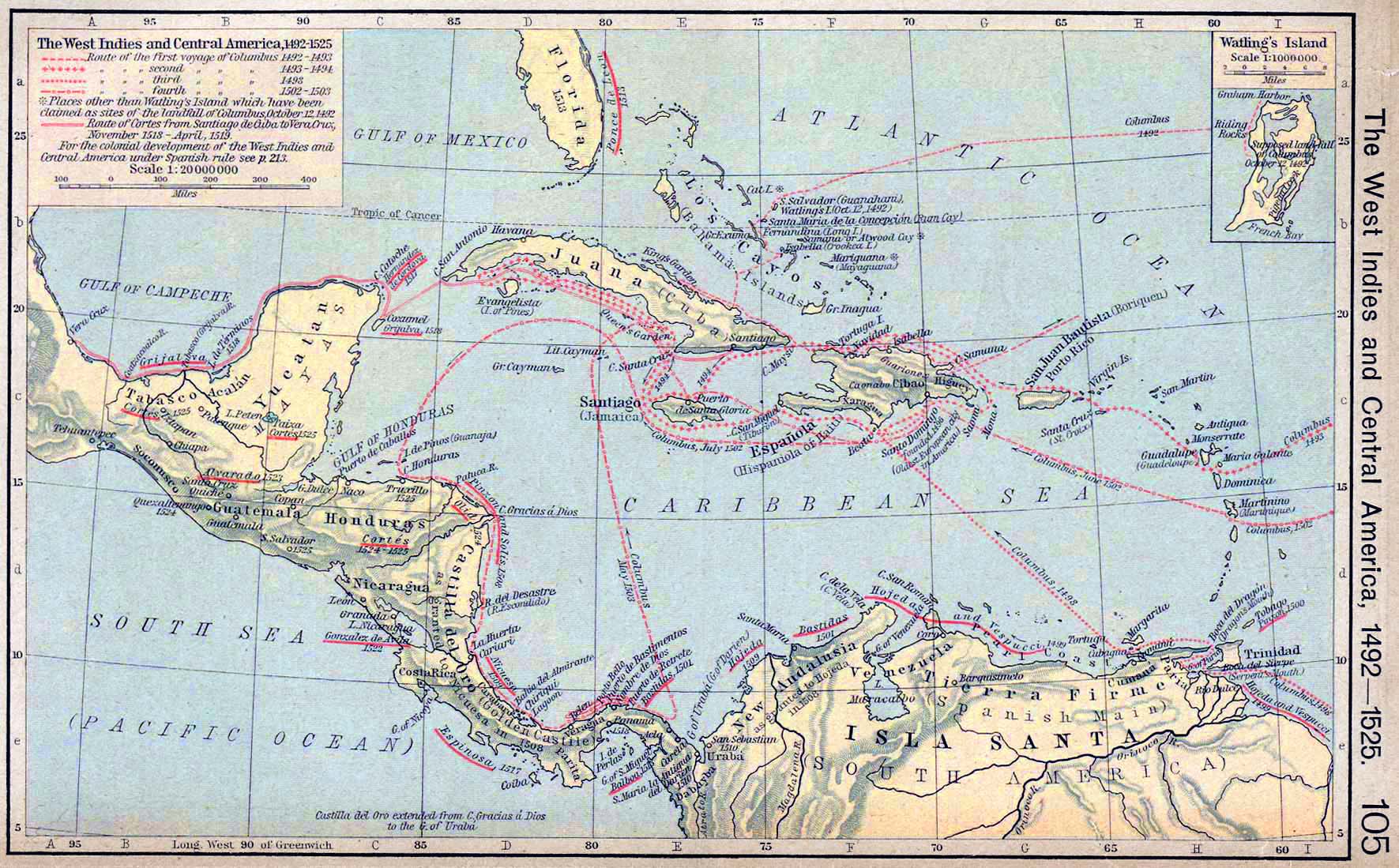
Route
of the first voyage of
 Columbus
1492-1493
Columbus
1492-1493
Route
of the second voyage of Columbus 1493-1494
Route
of the third voyage of Columbus 1493
Route
of the fourth voyage of Columbus 1502-1503
Places other than Watling's Island which have been claimed as
sites of the landfall of
Columbus October 12, 1492
Route
of
Hernán Cortés
(Hernan Cortes) from Santiago de Cuba to Vera Cruz,
November 1518 -
April 1519
For
the colonial development of the West Indies and Central America
under Spanish rule
see
Map of Mexico, Central America and the
West Indies