|
Map Description
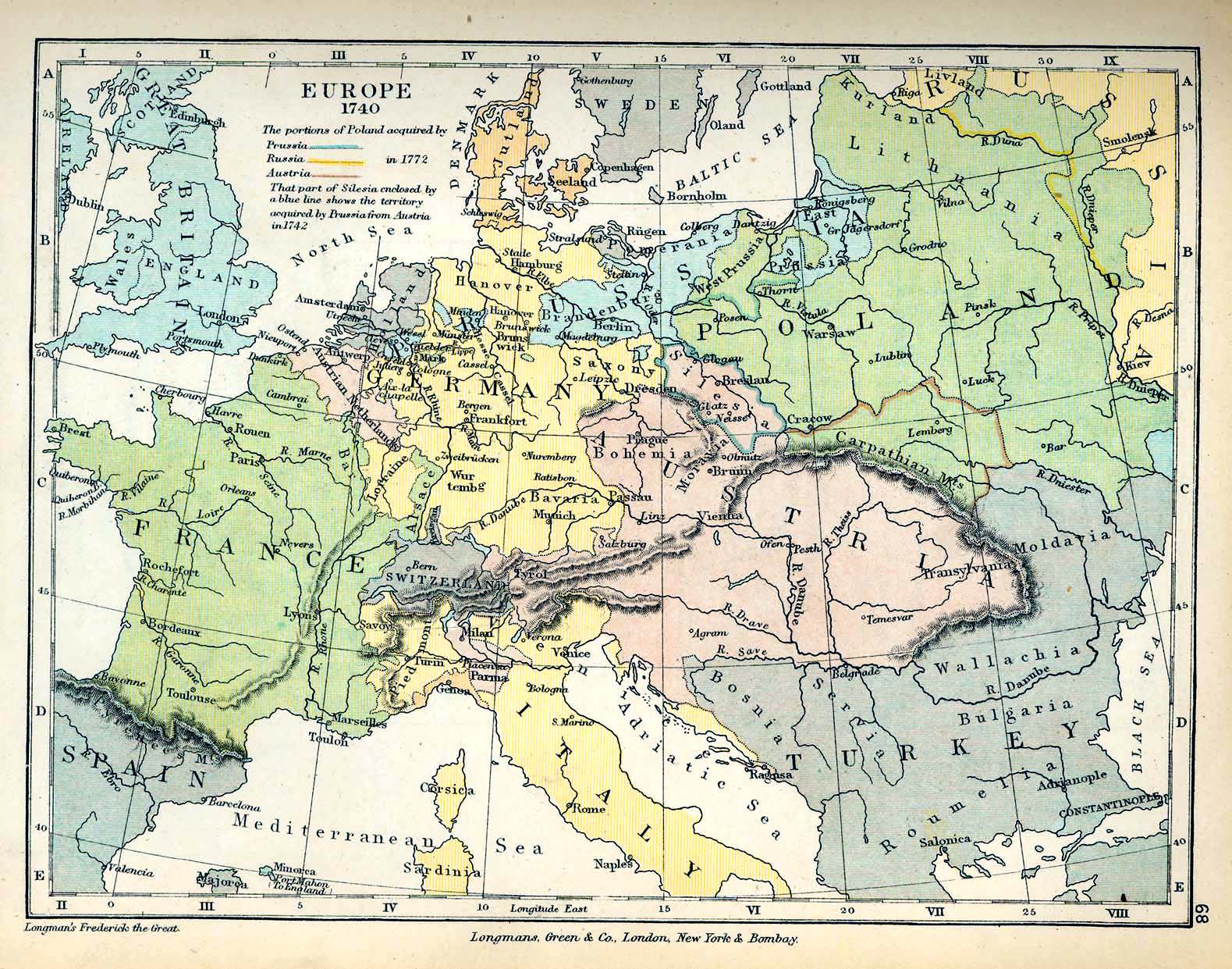
Historical Map of Europe in
1740.
Illustrating
The
portions of Poland acquired in 1772 by
- Prussia
- Russia
- Austria
That part of Silesia enclosed by a blue line shows the territory
acquired by Prussia from
Austria in 1742.
Credits
University of Texas at Austin.
From The Public Schools Historical Atlas edited by C. Colbeck, 1905.
Related Links
 About Frederick II the Great
 About the War of the Austrian Succession
 About the Seven Years' War
 About the Treaty of Aix-la-Chapelle
Related Maps
 Map of Europe in 1721
  Map of Poland: The Partitions in 1772

More History
 |