|
Map Description
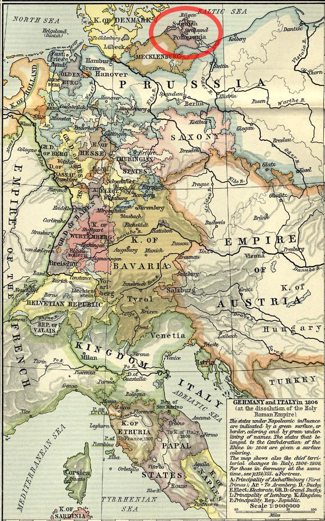
Historical Map of Germany and
Italy in 1806 - Swedish Pomerania circled
Credits
Perry-Castañeda Library Map
Collection. From the Historical Atlas by William R. Shepherd.
Related Links
 About the Holy Roman Empire
Gustaf Mauritz Armfelt
About the Holy Roman Empire
Gustaf Mauritz Armfelt
More History
 |
