|
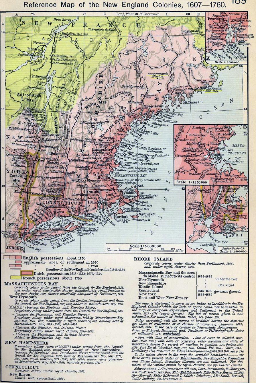
Map Description
Historical Map of the New
England Colonies, 1607-1760.
Insets: Rhode Island. Vicinity of Boston. Vicinity of New York.
Credits
University of Texas at Austin.
Historical Atlas by William Shepherd (1911).
Related Maps
 Map of the Middle Colonies 1607-1760
Map of the Southern Colonies 1607-1760
Map of the Middle Colonies 1607-1760
Map of the Southern Colonies 1607-1760
Map of the British Colonies in North America
1763-1775
More History
 |
