|
Map Description
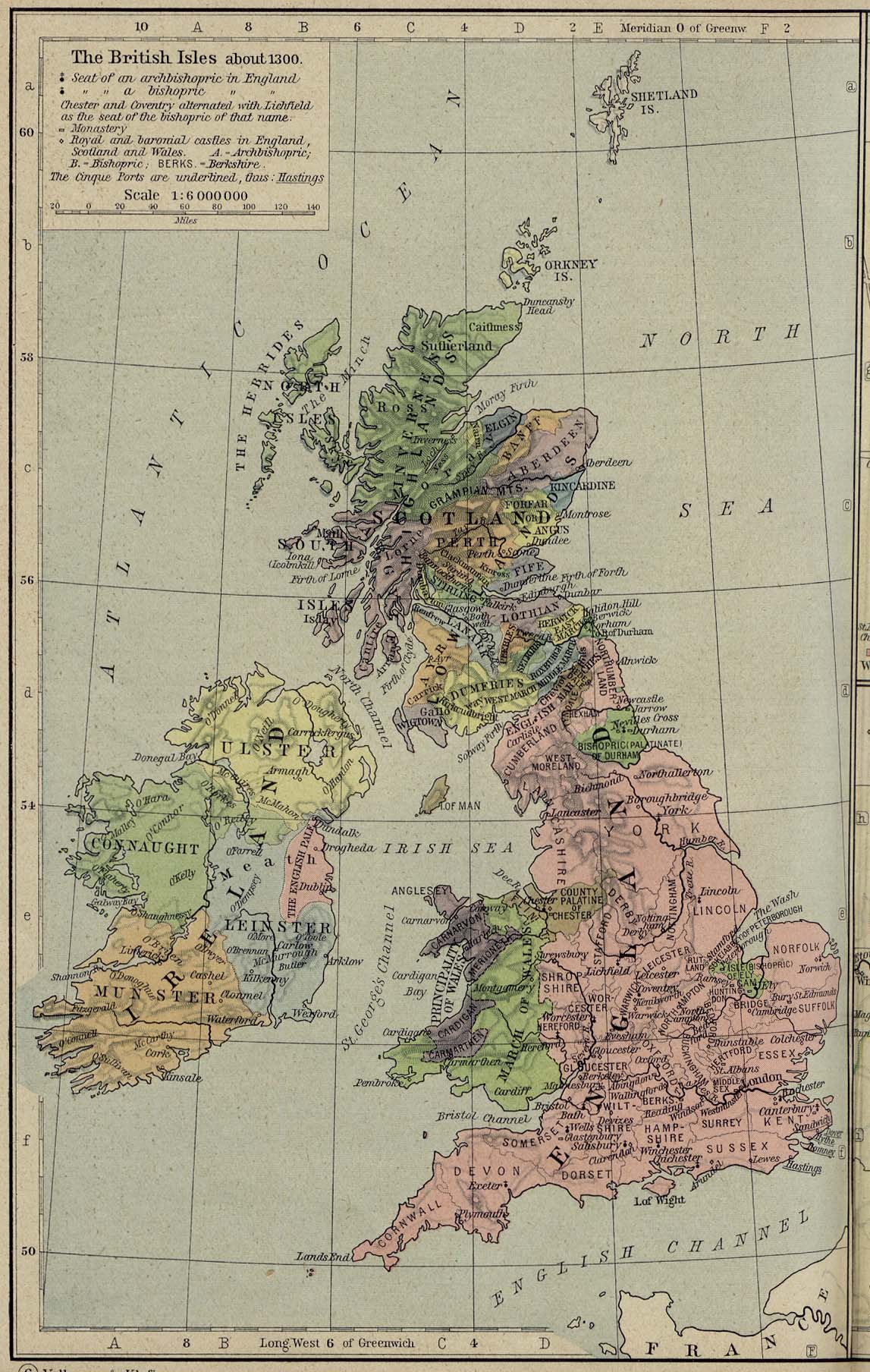
Historical Map of the British
Isles about 1300.
Illustrating
-
Seat of an archbishopric in England
- Seat of a bishopric in England
Chester and Coventry alternated with Lichfield as the seat of
the bishopric of that name.
-
Monastery
- Royal and baronial castles in England, Scotland and Wales
- The Cinque Ports are underlined.
Credits
University of Texas at Austin.
Historical Atlas by William Shepherd (1923-26).
Related Links
 About Robert the Bruce
Related Maps
Map of the British Isles in 802
Ecclesiastical Map of the British Isles in the
Middle Ages
Map of the British Isles 1603-1688
More History
 |
