|
Map Description
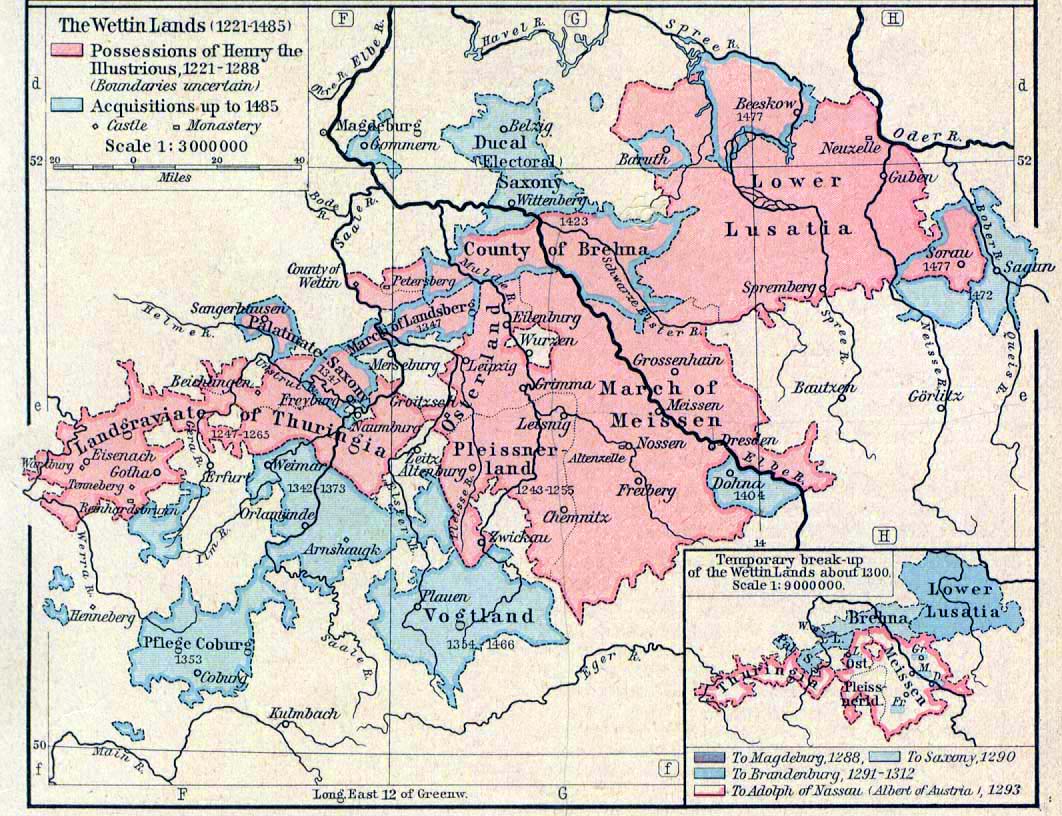
Historical Map of the Wettin
Lands, 1221-1485.
Inset: Temporary break-up of the Wettin Lands about 1300.
Credits
University of Texas at Austin.
Historical Atlas by William Shepherd (1923-26).
Related Links
 About the Wettin Dynasty
Related Maps
Map of the Wettin Lands 1485-1554
More History
 |
