|
Map Description
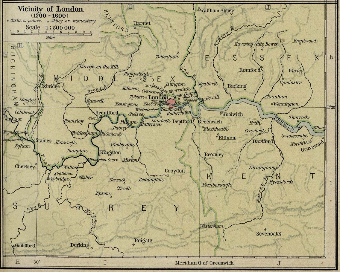
Historical Map of the Vicinity
of London 1200-1600.
Illustrating
Castle or Palace
Abbey or Monastery
Credits
University of Texas at Austin.
Historical Atlas by William Shepherd (1923-26).
Related Maps
 Map of London about 1300
Map of England and France 1455-1494
Map of England and Wales under the Tudors
Map of London about 1300
Map of England and France 1455-1494
Map of England and Wales under the Tudors
More History
 |
