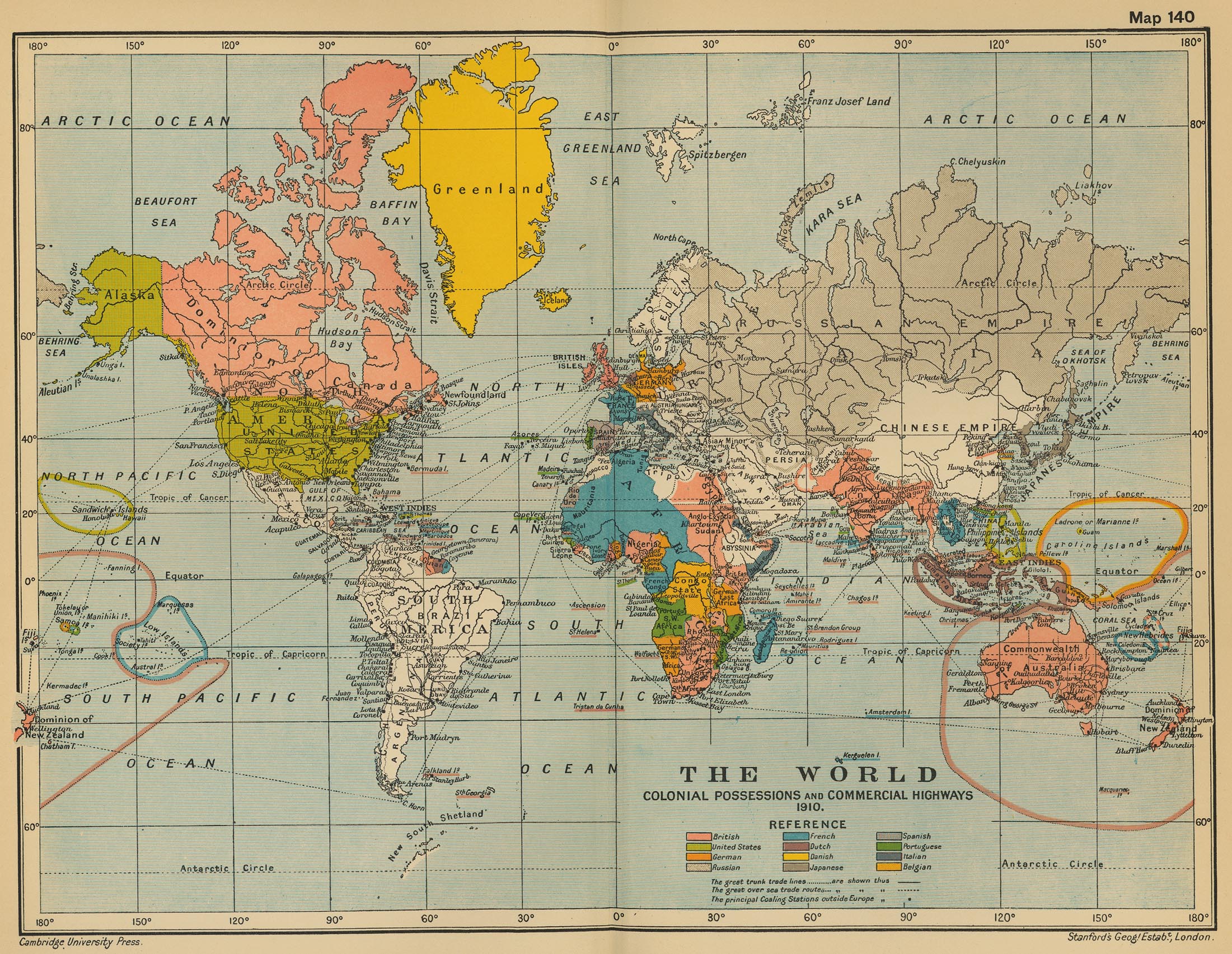
The Caroline Islands
The Caroline Islands were colonized by Germany during the late 19th century. Initially, these islands were part of the Spanish East Indies, but Spain did not maintain effective control over them.
In 1875, an agreement between Spain and Germany allowed for German trade in the region without extending Spanish customs jurisdiction, which laid the groundwork for German interests in the islands.
In 1884, an Anglo-German agreement recognized the Caroline Islands as part of Germany's sphere of influence. Following this, in 1885, Germany formally annexed the islands after raising its flag on Yap and securing treaties with local chiefs to legitimize its claim.
The annexation was partly driven by concerns that Spain would formally claim the islands, prompting a swift German response to assert control.
The formal transfer of sovereignty occurred on March 12, 1899, when Spain sold the Caroline Islands, along with Palau and the Northern Mariana Islands, to Germany for 16.6 million marks as part of a German-Spanish Treaty.
This acquisition marked the beginning of German colonial administration in the Pacific, which continued until World War I, when Japan occupied the islands in 1914. After the war, Japan received a League of Nations mandate to administer them.
This was formalized in 1920 as part of the Treaty of Versailles. Specifically, Article 119 of the treaty required Germany to renounce sovereignty over its former colonies, and Article 22 laid the groundwork for the creation of mandates for these territories under the supervision of the League of Nations.
The mandate system was designed to ensure that these territories were administered not as colonies but as "sacred trusts" for their inhabitants, with the aim of preparing them for self-governance.
The islands remained under Japanese control until they were occupied by U.S. forces as part of their World War II campaign in the Pacific Theater.
The most significant operations leading to the capture of the Caroline Islands occurred in 1944, with major battles such as the Battle of Truk Lagoon and the subsequent liberation of other islands in the group.
Following Japan's defeat in World War II, the Caroline Islands, along with other former Japanese territories, became part of the United Nations Trust Territory of the Pacific Islands, administered by the United States.