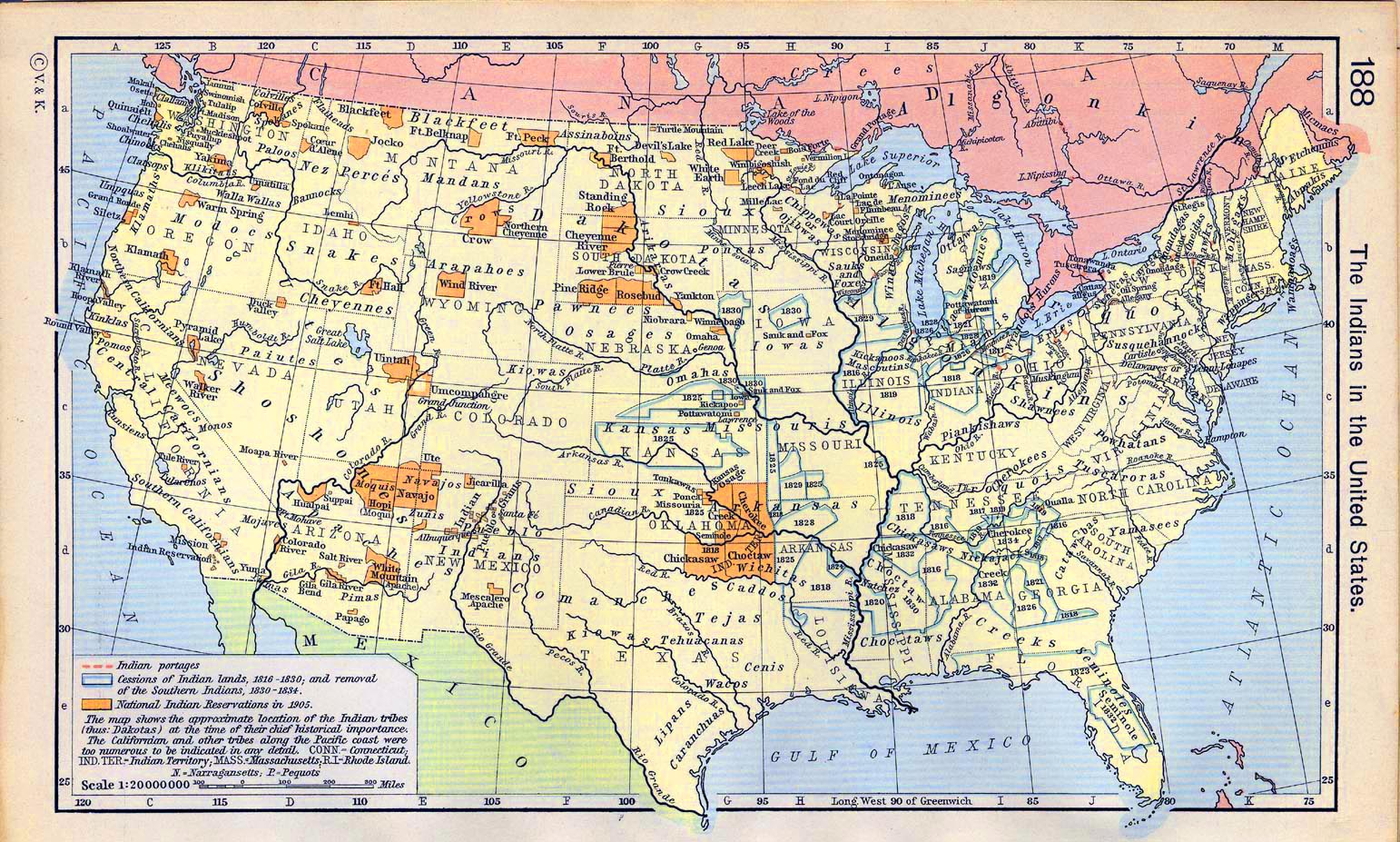
Indian Portages
The term "Indian portages" refers to specific routes historically used by Native Americans to transport canoes and goods overland between bodies of water. These portages were crucial for trade, travel, and communication among tribes and later became significant for European explorers and settlers.
In more detail:
Portages are defined as the places where boats or canoes are carried overland to bypass obstacles like rapids or
waterfalls. In North America, these routes often evolved from animal paths and were improved over time for easier
passage.
Indian portages were vital in facilitating trade among different tribes and later with European settlers. They often became hubs of settlement due to their strategic importance in navigation and trade routes.
Many maps from the colonial period include references to Indian portages, highlighting their significance in early American geography and settlement patterns. For instance, the Chicago Portage was a critical route connecting the Great Lakes with the Mississippi River system, utilized by both Native Americans and later European traders.
Treaties, such as the Treaty of Greenville, recognized these routes as common highways, ensuring free passage for settlers and traders through Native lands.
Portages were not just physical pathways; they held cultural importance for Native American tribes. They often marked territorial boundaries and were associated with specific tribal histories and stories.

