|
Morelos
Morelos is a state, Spanish: Estado de Morelos, in central Mexico.
On April 16, 1869, the State of Morelos
was separated from the State of Mexico (Estado de México).
Morelos state covers an area of 1,911 square
miles, or 4,950 square km. State capital is Cuernavaca. Here
are the maps:
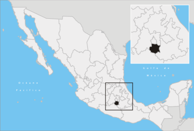
MAP OF MORELOS STATE, MEXICO
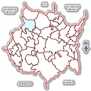
MAP OF
CUERNAVACA (SHADED) IN MORELOS STATE, MEXICO
AND NEIGHBORING STATES - CLICK TO ENLARGE
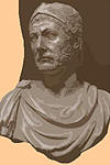
The name Morelos is derived from
José
María Morelos y Pavón, a big name in the
 Mexican War of
Independence from Spain. And here he is:
Mexican War of
Independence from Spain. And here he is:
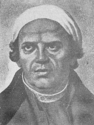
MORELOS, THE FIGHTING PRIEST
WHO HELPED TO FREE MEXICO FROM SPAIN
Here are more history maps
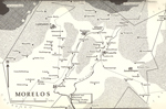
Map
of Morelos, Central Mexico
Click to enlarge
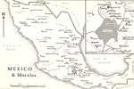
Mexico and the State of Morelos
Click to enlarge
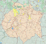
1999 State of
Morelos, Mexico
What went on in Morelos?
During the 8th and 9th centuries AD,
people built some pretty remarkable constructions near today's
Cuernavaca. The ancient city is called Xochicalco, which
weirdly enough means In the Place of the Flower House.
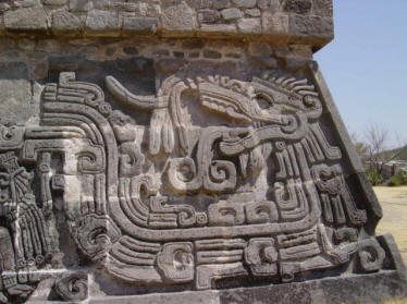
XOCHICALCO RUINS, MORELOS, MEXICO
Nobody knows why Xochicalco became
unpopular and subsequently abandoned by its inhabitants, but UNESCO thought the ruins were
incredible enough and declared it
a World Heritage Site in 1999.
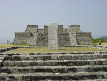
XOCHICALCO PYRAMIDS
What else happened in Morelos?
Emiliano Zapata
was born in Morelos.
Hence, Morelos sat in the front row to watch
the
Mexican Revolution.
More History
|